Sonoma County's regions, explained
Sonoma Valley, Santa Rosa, Petaluma, the Russian River and the coast: where each part of the county sits and what sets it apart.
SONOMA COUNTY: Visitors say they are going to wine country and picture one place. The county is closer to five or six places sharing a border: a valley of small towns, a county seat big enough to disappear into, a river corridor in the redwoods and a cold, foggy coast. Here is how the pieces fit.
Sonoma Valley
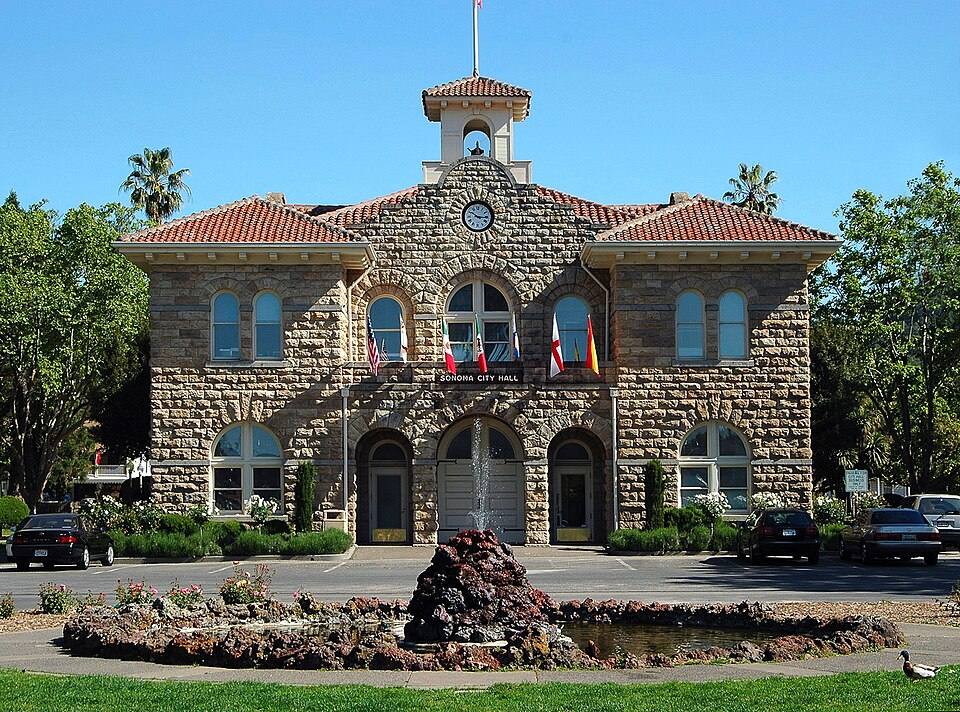
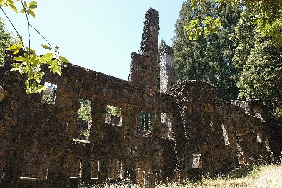
Start here, since this is the Post's home ground. The city of Sonoma anchors the south end of the valley, and Highway 12 strings the rest of it north: Boyes Hot Springs, El Verano and Agua Caliente run together along the highway, then Glen Ellen, then Kenwood toward Santa Rosa. Jack London State Historic Park, the writer's Beauty Ranch and a memorial to his life and work, sits just west of Glen Ellen. The valley is compact, which is why it works as a base: nowhere in it feels far from anywhere else in it.
Santa Rosa
Santa Rosa is the county seat and the county's largest city, sitting northeast of Sonoma. This is where the county's government, hospitals, malls and widest range of services live. Travelers pass through it; locals do their errands in it. The county bus network hubs at the Santa Rosa Transit Mall, which connects local routes across the county, which matters if you are getting around without a car.
Sonoma County reads as one place on a map and five or six places on the ground. The regions are close together and nothing alike.
Petaluma
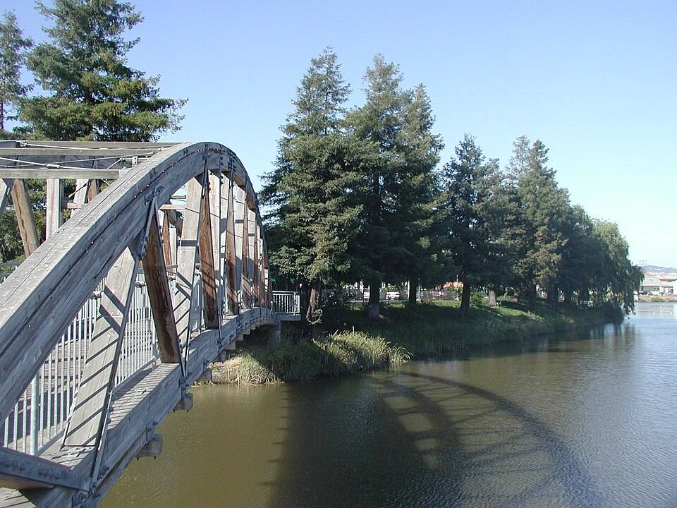
Petaluma sits south of Santa Rosa, toward the bay, with a well-kept historic downtown of its own and the Petaluma River running through it. It reads more Bay Area commuter town than wine country, which is exactly its appeal: a working downtown and a different rhythm from the valley towns.
The Russian River
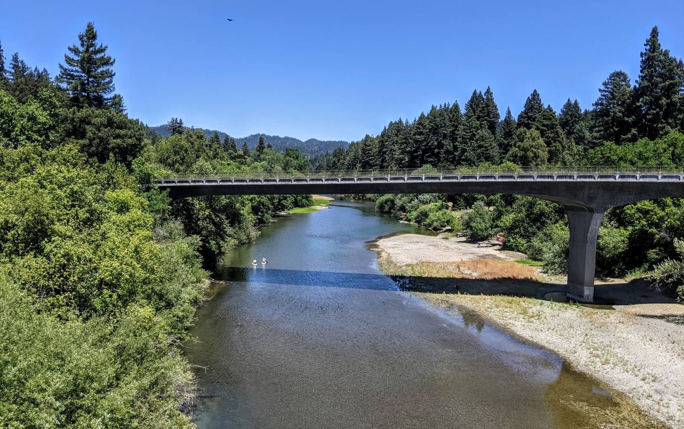
West of Santa Rosa, the county turns to redwoods and river. Guerneville is the hub of the river towns, with Forestville, Rio Nido and Monte Rio strung along the water; the county's Route 28 Russian River Shuttle loops through them Monday through Saturday. This is the county's summer-cabin country: canoes, swimming holes and shade. It is a different climate from the valley, and a different trip.
The Sonoma Coast
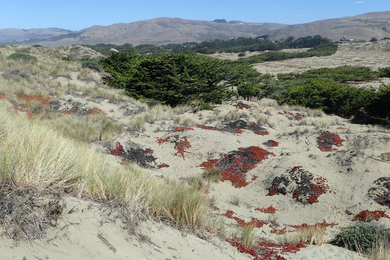
The county's western edge is the Pacific, reached through Bodega Bay. Sonoma Coast State Park runs about 17 miles from Bodega Head to just north of Jenner, a series of beaches separated by rock bluffs and headlands along Highway 1. Bodega Head's high cliffs are a noted vantage point for watching migrating gray whales.
How to use this
Base in Sonoma for the valley and the Plaza. Base in Guerneville for the river and the redwoods. Pass through Santa Rosa for everything practical. And give the coast its own day: it is the farthest thing in the county from wine country, which is why it is worth the drive.
None to date. The Tribune corrects errors promptly and transparently. Read our corrections policy.