Sonoma County puts its next 20 years on the map, starting in Sonoma Valley
The General Plan workshop series was scheduled to open in Sonoma Valley on Wednesday and reach Forestville on Thursday. A one hour virtual session on Tuesday, November 10 is the next chance to weigh in on where homes and shops belong, and what should stay as it is.
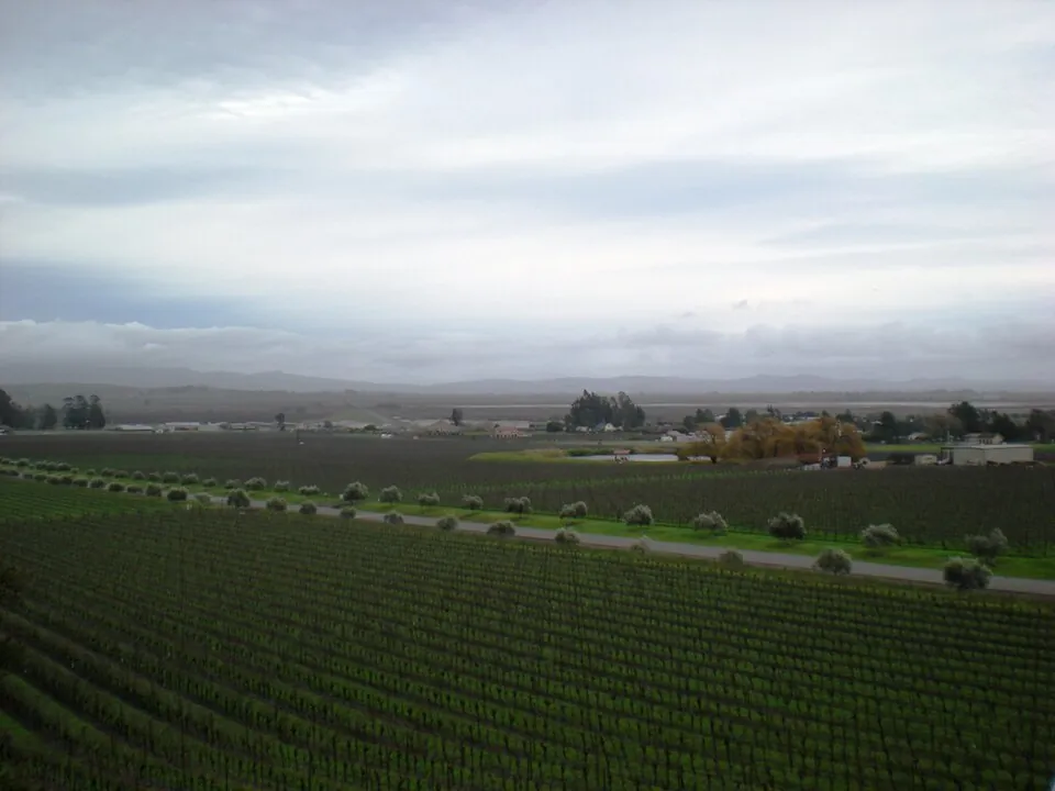
SONOMA: Sonoma County is redrawing the document that will steer land use across its unincorporated areas for the next 20 years, and this month it is asking residents to do some of the drawing. Permit Sonoma's November workshop series for the General Plan update turns on two questions the county puts plainly in its own materials: which parts of the county could take more homes and jobs, and which places residents want kept as they are.
Among the in-person workshops, the published schedule put the valley first. The Sonoma Valley session was set for Wednesday, November 4, from 6 to 8 p.m. at Flowery Elementary School, 17600 Sonoma Highway, and the series moved to Forestville on Thursday, November 5, at Laguna High School, 7050 Covey Road, at the same hours. For valley residents, the Flowery session was the home date in a four stop tour of the county.

Maps on the table, dinner provided
The workshops are working sessions, not lectures. Residents review maps of draft study areas and tell the county what kinds of land uses it should consider in different parts of the county. The county's invitation is deliberately low barrier: dinner is provided, anyone can drop in at any point during the two hours, all ages are welcome, and no planning experience is needed.
The study areas are the shaded places on the county's interactive map where planners are testing whether a change to the land use map could better serve local needs. The same map invites residents to drop a pin on any spot in unincorporated Sonoma County, inside or outside a shaded area, and say what they would change there and why it matters.
The next chances to be heard
Three sessions remain in the series. The county's virtual information session runs Tuesday, November 10, from noon to 1 p.m. on Zoom, with an introduction to the study areas and a demonstration of the upcoming interactive map; registration for the virtual session is offered through a link on the county's project page. Two evening workshops follow, in Penngrove on Wednesday, November 18 at Penngrove Elementary School, 365 Adobe Road, and in Geyserville on Thursday, November 19 at Geyserville Elementary School, 21485 Geyserville Avenue, both from 6 to 8 p.m.
What is being decided is not small. The General Plan is the county's main planning document for land use, covering long term growth, conservation, housing and public services, and it is where development is weighed against the protection of farmland, natural resources, community character and public safety. The plan now in force is General Plan 2020, which carries optional chapters on water and agricultural resources alongside the required elements.
The update is led by Permit Sonoma, working with other county departments, community members and local organizations. The process has reached the stage of existing conditions and policy development. A draft plan, open to public review and environmental review, comes next, and the county expects to have final adoption by the Board of Supervisors in 2028. The maps being marked up this month are the early lines of that document.
None to date. The Tribune corrects errors promptly and transparently. Read our corrections policy.